In the past, users only found the information they needed on the Web, but recently newly-developed information services give convenience to users by automatically providing useful information for users thanks to the development of the Web.
Recently, with the development of cloud computing platforms, mobile Internet applications are constantly emerging. Mobile retrieval is one of the most important applications of mobile Internet. Mobile search must be personalized. This is because different users need different information depending on their environments and interests even if the query required is the same.
Recommendation systems are widely used on the Web as this kind of service. The recommendation system is a personalized information filtering system that provides users with new items that might please users based on the assessment information or purchase information about items that users have already experienced.
Recently, recommendation systems have been adopted in various domains such as recommendation of commodities that users wants to buy, recommendation of films, TV, broadcast, music, restaurants, etc., identification of web pages of interest to users, and selection of appropriate information retrieval methods. However, insufficient user’s personal information and frequent use of other computers increase the difficulty in collecting users’ personal information. Due to the nature of mobile phones in mobile environments, user’s personal information is easily collected by telecommunication and it is no longer a difficult problem.
With a view to further increasing the effectiveness of personalized mobile retrieval method, Kim Kwang Hyok, a researcher at the Institute of Information Technology, proposed a hybrid filtering recommendation method by combining content-based filtering and cooperative filtering.
The experiments demonstrate that the proposed method can significantly improve the effectiveness of personalized mobile retrieval.
You can find his paper “Study on Personalization Information Retrieval Using Hybrid Filtering Recommendation Method” in “2025 10th International Conference on Intelligent Information Technology (ICIIT 2025)”.
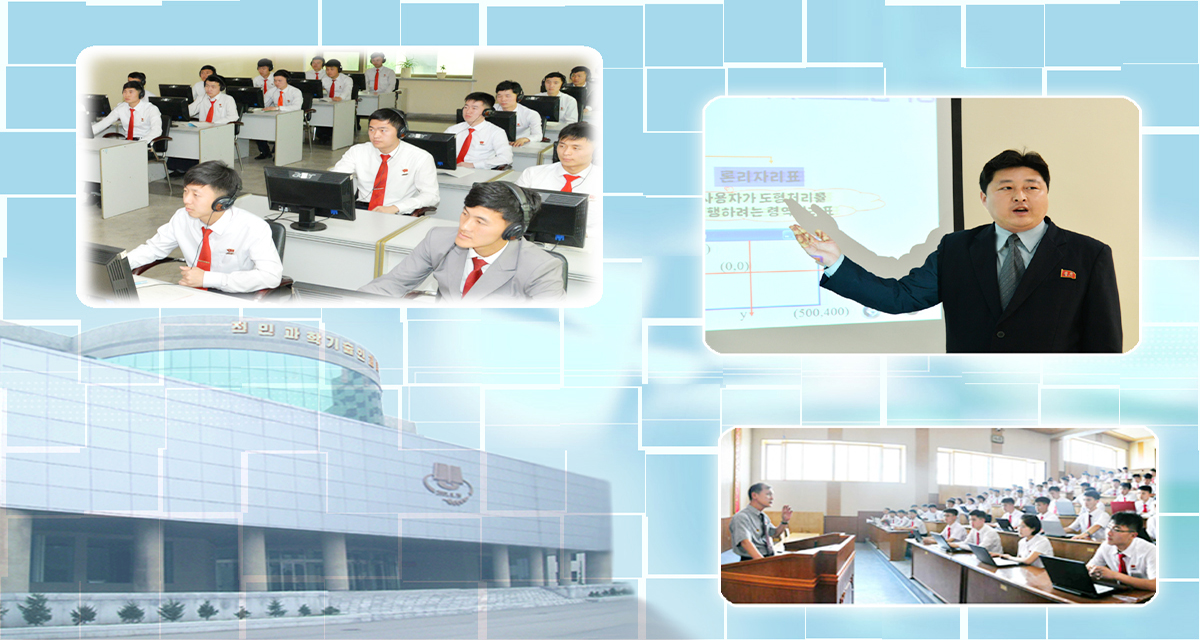
...